

Teysachaux (1909 m) was on my list. Last year we did a longer hike (more info: here ) and my boyfriend reached the summit, but with my luck I sprained my ankle and was happy to make it home the day after. It was revenge time.
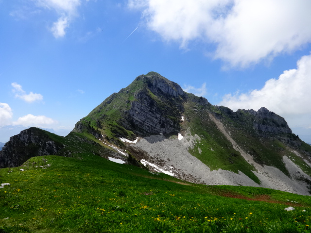
Teysachaux is a summit in Swiss Prealps that lies on the south end of Moléson ridge. It’s steep and sexy. Yes, you can use this word for mountains as well.
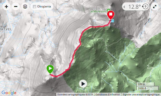
How to get there
Being lazy on Monday afternoon I decided to take a car to Moléson village and then thanks to Magic Pass I was on the summit of Moléson in no time. Taking shortcuts sometimes has its advantages. You can also start your hike already in the village, which will make this hikeabout an all day adventure.
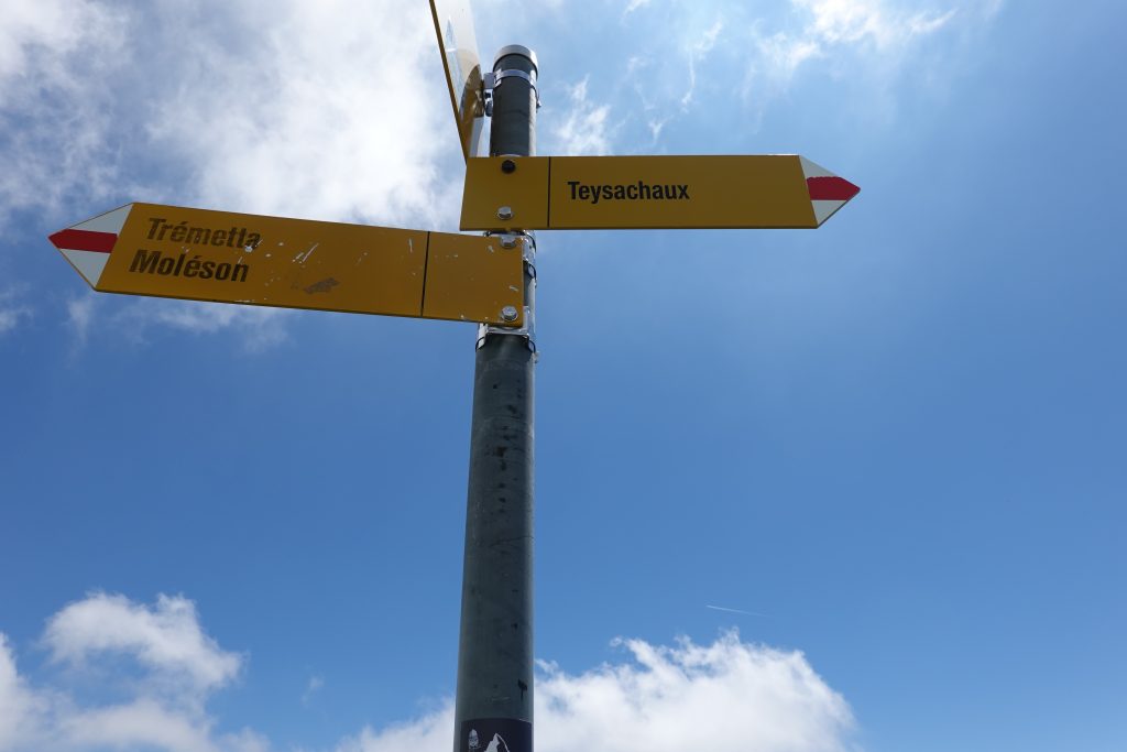
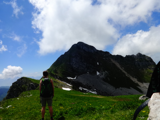
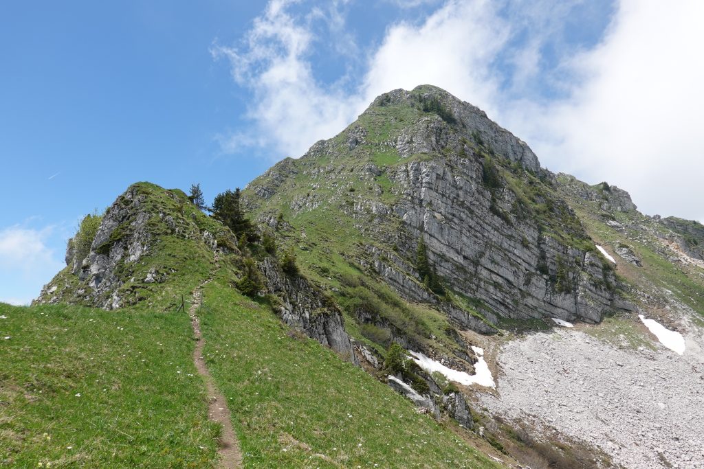
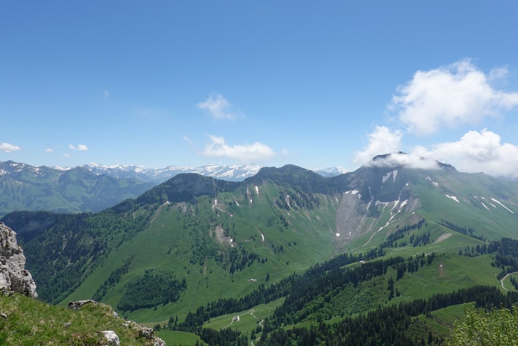
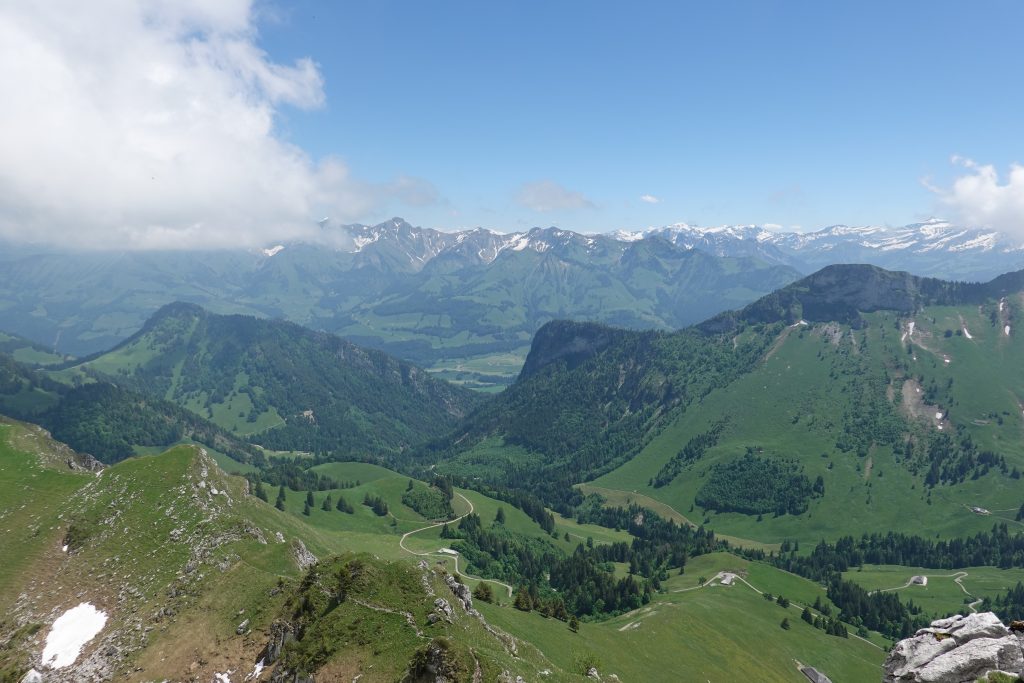
From the summit of Moléson you just follow the signs – Teysachaux and you’ll be fine. It seems like it is just around the corner but walk on the ridge takes about 30 – 40 minutes.
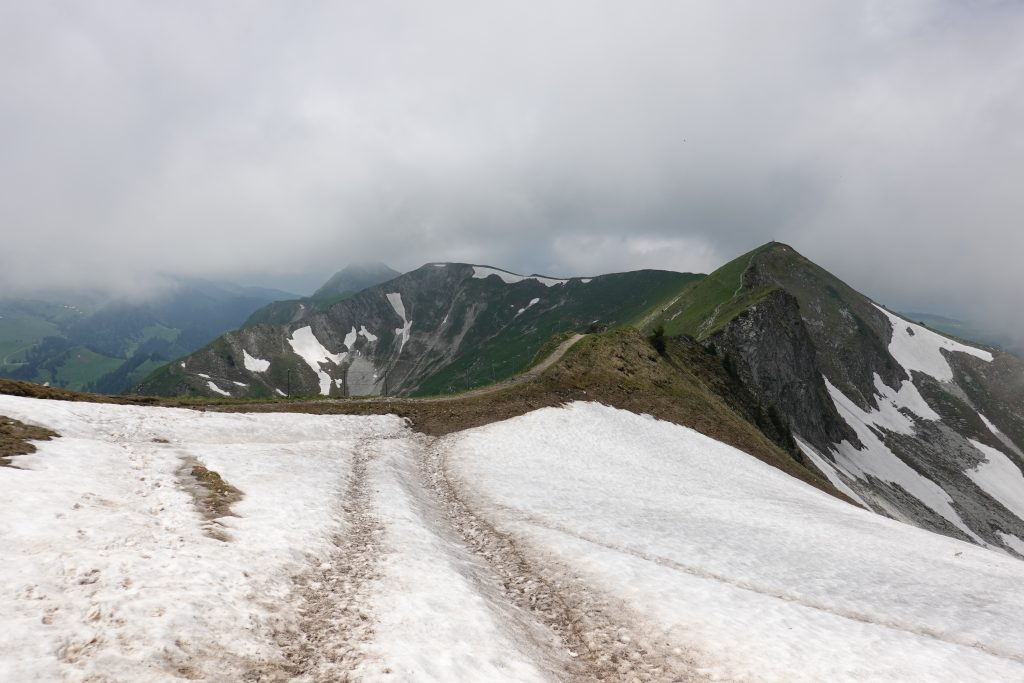
Still some snow around 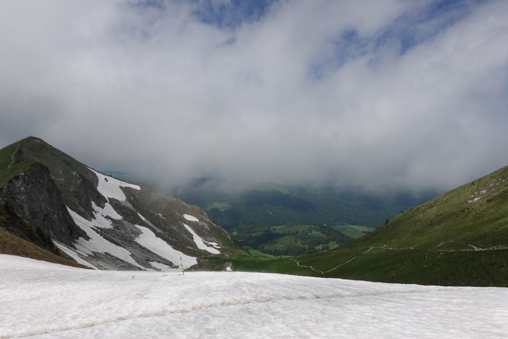
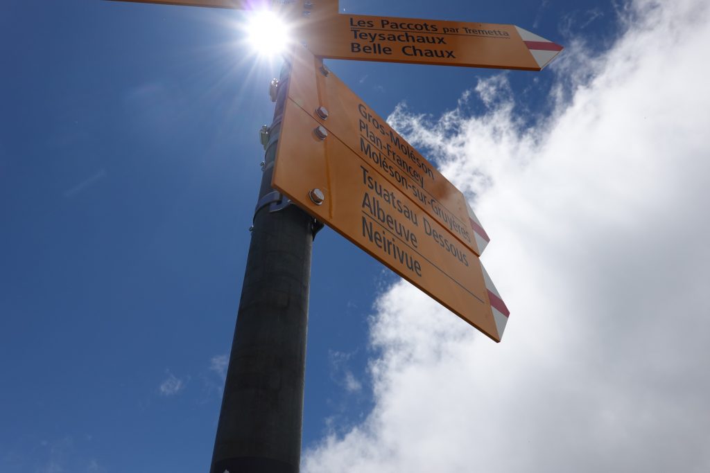
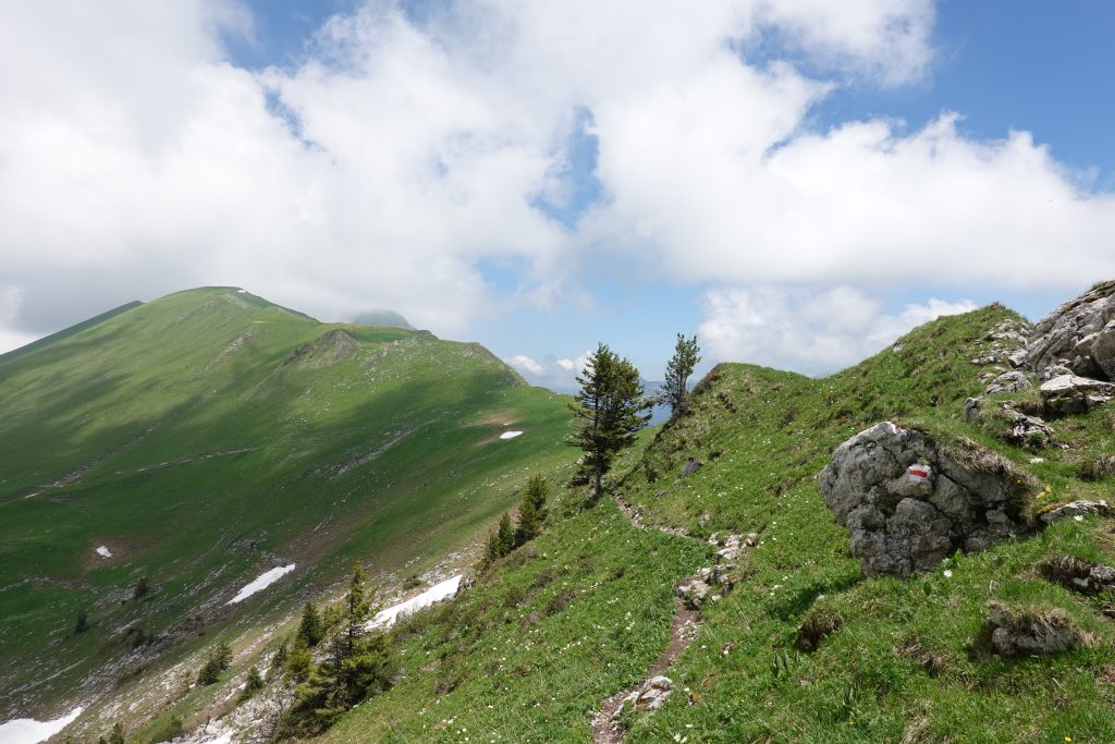
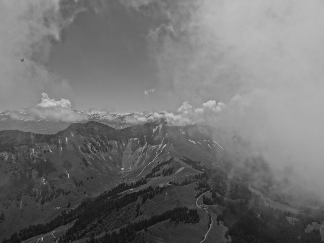
Follow the signs 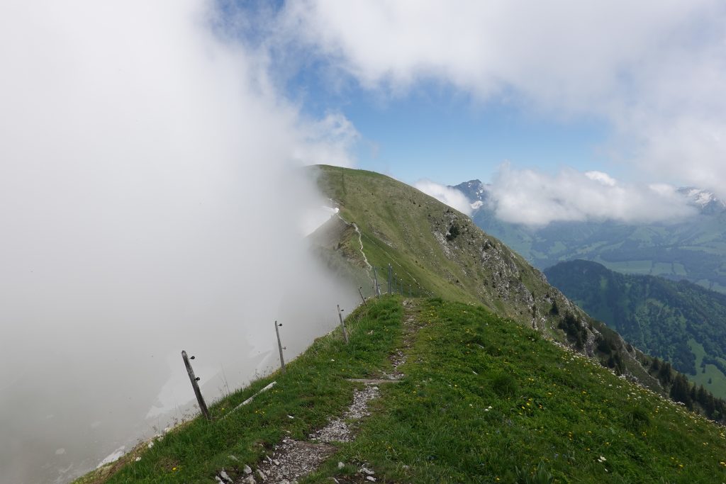
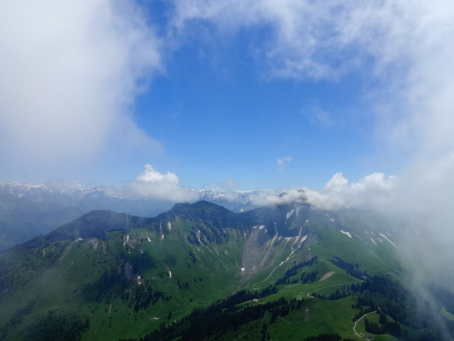
Beautiful fog covering the ridge 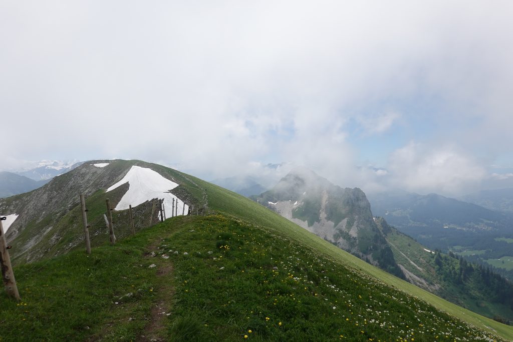
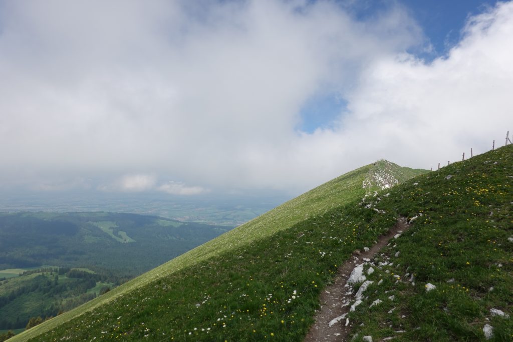
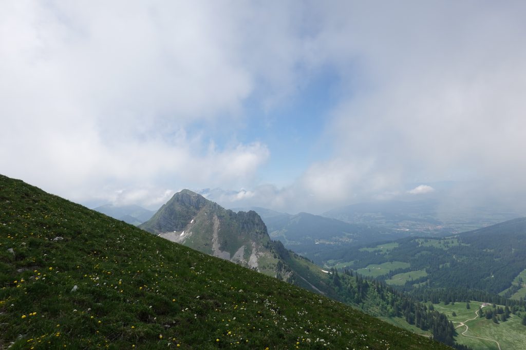
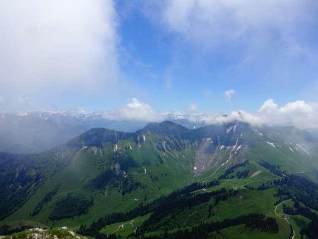
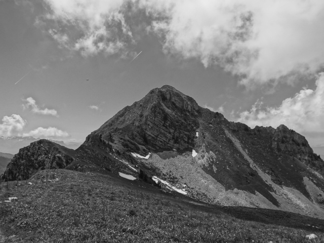
You can already see Teysachaux 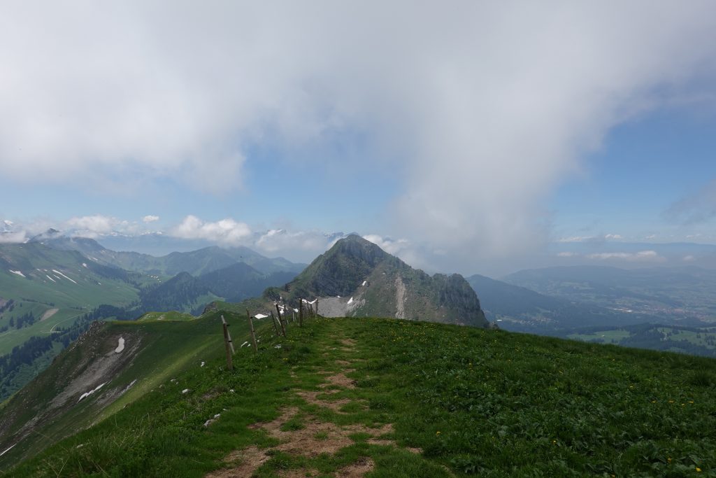
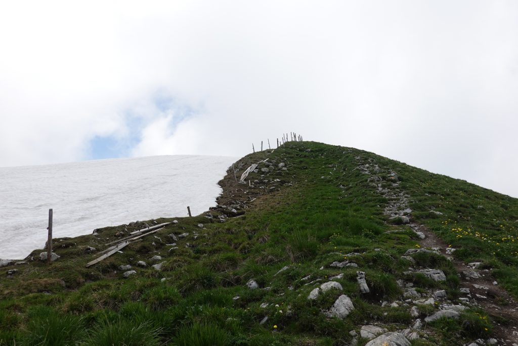
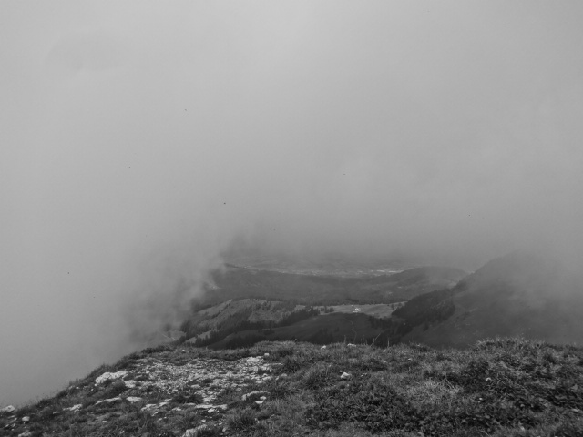
Almost there 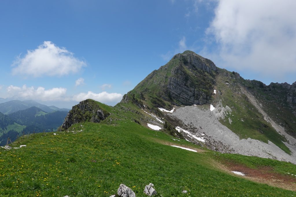
Teysachaux- hike up and down
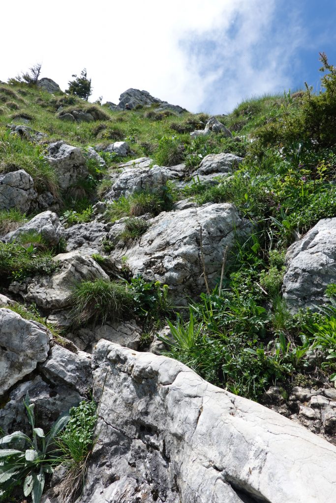
It doesn’t take long and that’s the plus. But… (there’s always a but) it’s steep as hell. There’s a bit of ‘varappe’ as the French speakers would say, which means a hard, steep hike that quite often needs using your hands. That was the case. When I finally got on the summit I was happy and waited a moment for some views since the fog was still present.
The beginning… 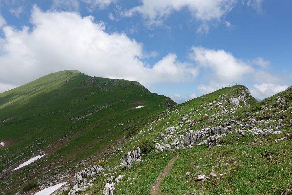

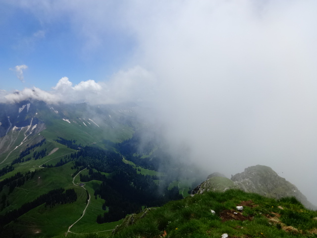
and the views… 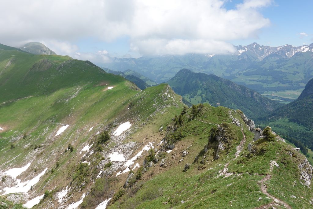
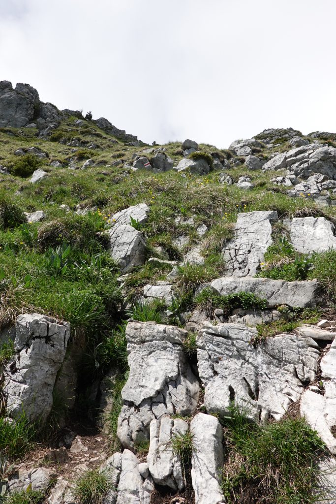
Starting to climb up a bit 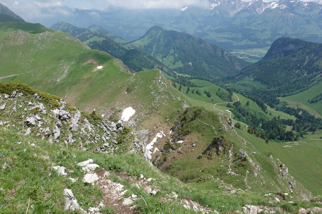
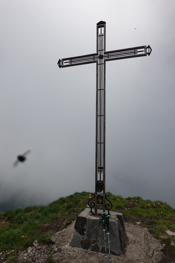
The summit! 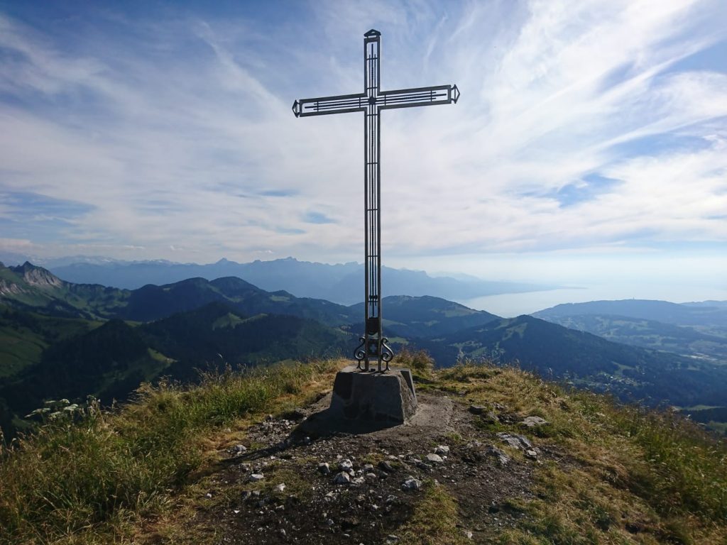
That’s the view my boyfriend had one year ago… 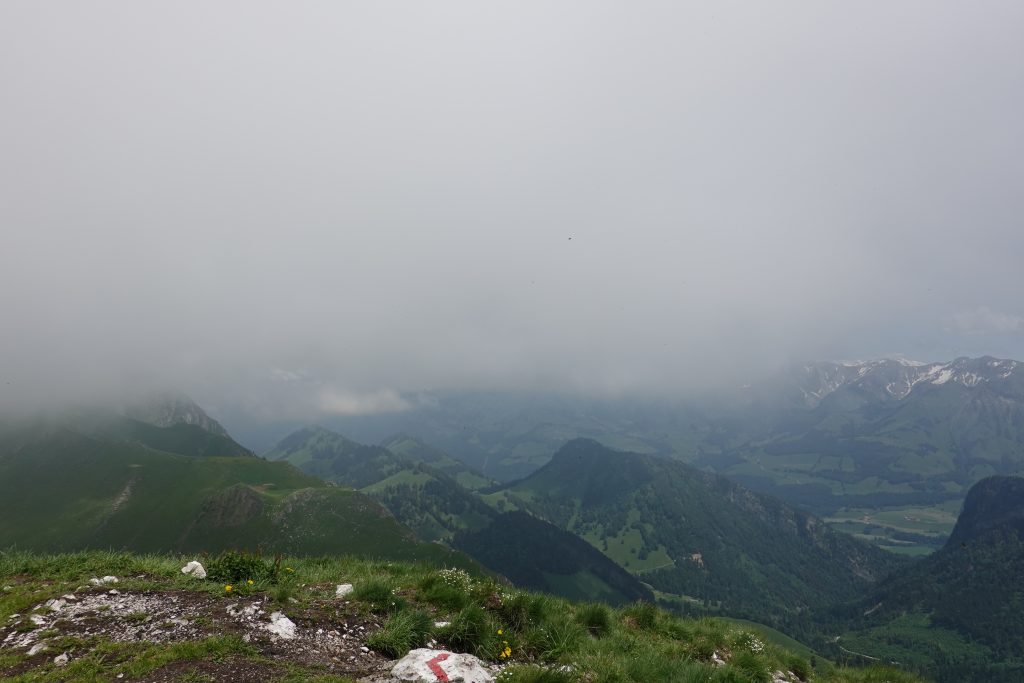

I took the same trail to go back and honestly it wasn’t that easy for me (I do have some kind of problems with descending). It took me longer than going up and I was extremely happy with already some leg pains when I got down. What was left was to follow the ridge and get back to summit of Moléson.
Bye bye Teysachaux!
Practical information:
Starting point: Moléson summit station (1973 m)
Target: Teysachaux (1909 m)
Hike lenght: around 6 km both ways
Time: 2 hours
Tip: The last part of the hike after the ridge is quite difficult and marked as T4. Be sure if you’re fit enough to do it and last but not least sure footed and not scared of heights and exposition. I did take hiking sticks with me, but for a lot of people they’re not necessary.
Text: Agnieszka Wajs